
Mish(kittacuck)sepe Restored:
The Plan to Improve the Blackstone River


The Collaborative received a $1.1M grant from the National Fish and Wildlife Foundation to produce a comprehensive vision plan for the river called “Mish(Kittacuck)sepe Restored” by the end of 2027 that identifies priority projects to improve natural hydrology, aquatic connectivity, and equitable public access.
We recognized that traditional ecological knowledge and current indigenous priorities are essential to include in this project. In fact, the project’s name reflects this.
Mishkittakooksepe is the Narragansett’s name for the Blackstone River and Kittacuck is the Nipmuc’s - both meaning Great Tidal River.
We are using a combination of the two words as our project title — Mish(Kittacuck)sepe Restored — to guide our collective vision in this work.

Building from what we already know & current community priorities
In the summer of 2025, the Collaborative hired an intern, Mallory McPherson from RI School of Design, to summarize historic, municipal, and regional goals around river restoration, access, and dams so that we’d be working from the best available data and not reinventing the wheel. She reviewed existing municipal priorities noted in local plans such as climate resilience, Hazard Mitigation, and comprehensive plans as well as regional goals from documents like the Southeast New England Program (SNEP) Strategic Plan, and historic reports such as the 2004 Blackstone Visioning Report.
Explore the full spreadsheet of her findings as well as the overview report below.
We’re using this information to inform our next step of work - interviewing local officials to find out what progress has been made, how their priorities have shifted, and what restoration goals are most important to them. We’re also working closely with both the Narragansett Indian Tribe and the Hassanamisco Nipmuc Band to ensure indigenous priorities are incorporated and important cultural sites are noted in order to avoid potential conflict during restoration project planning.
As we look ahead, the Collaborative is continuing to learn from the people who know this watershed best. At our October 2025 monthly meeting, we invited representatives from local municipalities, partner organizations, and community members to share their perspectives and help us understand what matters most as this project moves forward.
Many participants spoke about the importance of improving the river for future generations, creating more opportunities for water access and recreation, and restoring swimmable and fishable conditions throughout the watershed. These conversations are already helping to shape our next steps. In the months ahead, we’ll continue engaging with a wider range of communities to refine current actions, set future priorities, and ensure this work reflects the shared values and aspirations of everyone connected to the Blackstone.
Stay tuned for upcoming events on our events page or through our newsletter!


Thank you to the SNEP Network for supporting this work!
Fieldwork & Data Collection
In 2022, while paddling the entire length of the Blackstone under drought conditions, the mainstream of the river dead-ended, the water apparently diverted instead into the manmade canal system. This sparked a conversation about what we know, and more importantly, what we don’t know about the river’s hydrology - how the river and the canal intersect and what we can do to improve natural flow in both flood and drought conditions.
The Collaborative is working with Horsley Witten Group to perform an H&H (Hydrology and Hydraulics) study along the main stem of the river, which includes extensive fieldwork and modeling to help inform these decisions.
Hydrology

With the advent of the first water-powered cotton spinning mill as Slater Mill in Pawtucket RI, the Blackstone became the birthplace of the American Industrial Revolution and many communities see their history intrinsically linked with the dams and mills that helped found their town. However, the mainstream still has 21 dams, and hundreds more in the watershed, many of which now serve no purpose and are in disrepair. These dams impede aquatic connectivity, modify flow and impoundments, and provide challenges to recreation and river access.
As part of this project, we will collect comprehensive data about the mainstream dams and model what the river looks like without certain dams or any dams to inform flow. Finally, we will choose one priority dam to work with the community and explore what removal may look like, build consensus about final goals, and identify next steps.
Dams

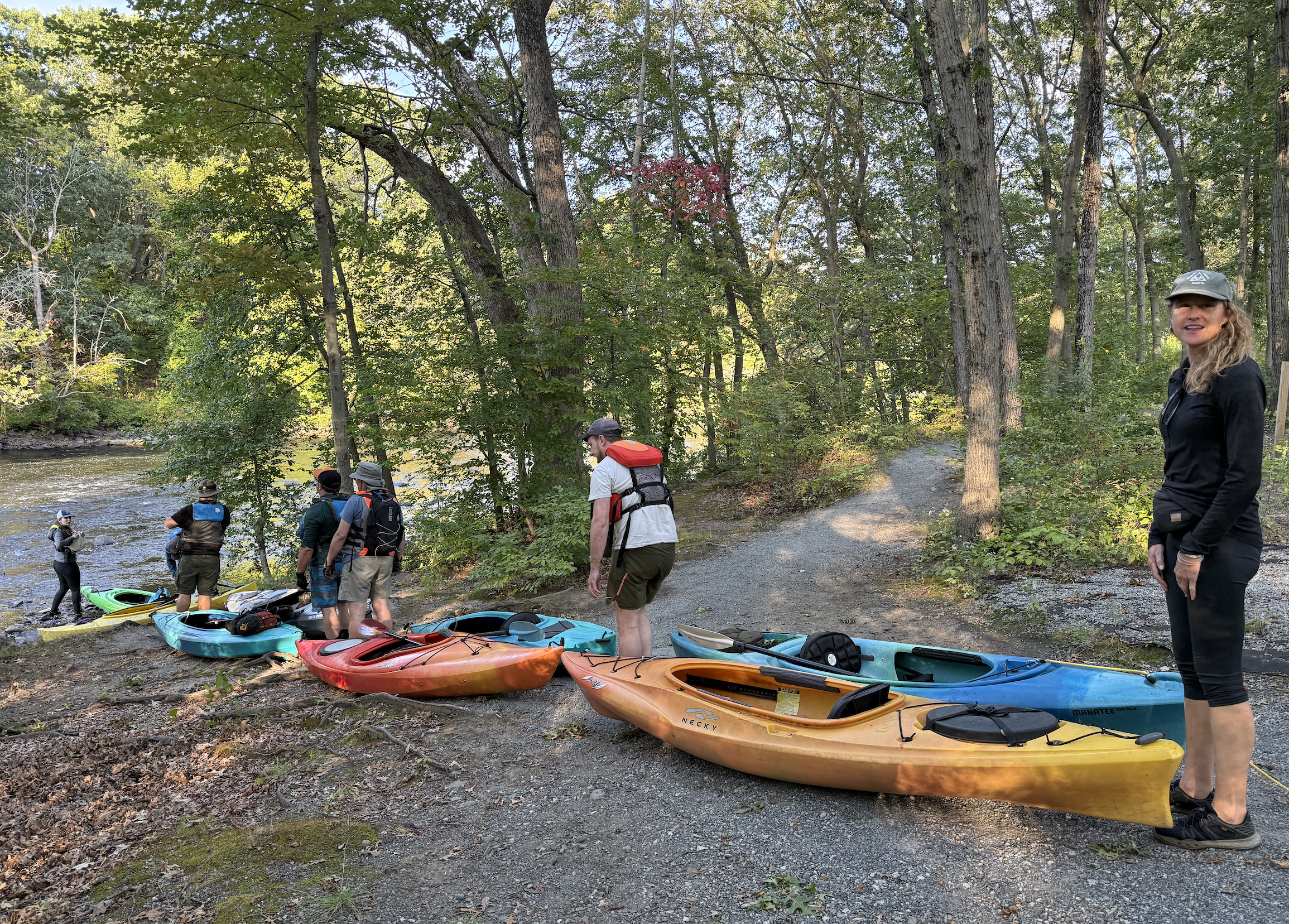
Improved river access means improved knowledge about river conditions and expanding the network of stewards that are able to monitor and care for it, as well as helping build communities that feels more connected to the water and willing to advocate for it to ensure its stewardship.
We are working with partners to identify not only existing formal access points, but also those favorite worn-down paths that are frequented by community members using the river for fishing, boating, birdwatching, or other recreational uses so that we may work with communities to formalize and improve some of those points and expand access for people of all abilities and all communities. As part of the final plan, we will identify 3-5 points and work with Commonplace Landscape and Planning to create renderings of what new or improved points could look like, as well as identify potential next steps for planning, permitting, funding, and implementation.
Access
Meeting with Municipalities
The Collaborative has been meeting with municipal staff from mainstem communities about their goals, ideas, challenges, and opportunities for restoration and access projects along the river’s mainstem.
Although these initial meetings were held virtually, we then took to the field and joined municipal staff at a series of site visits to learn more about what projects would entail.
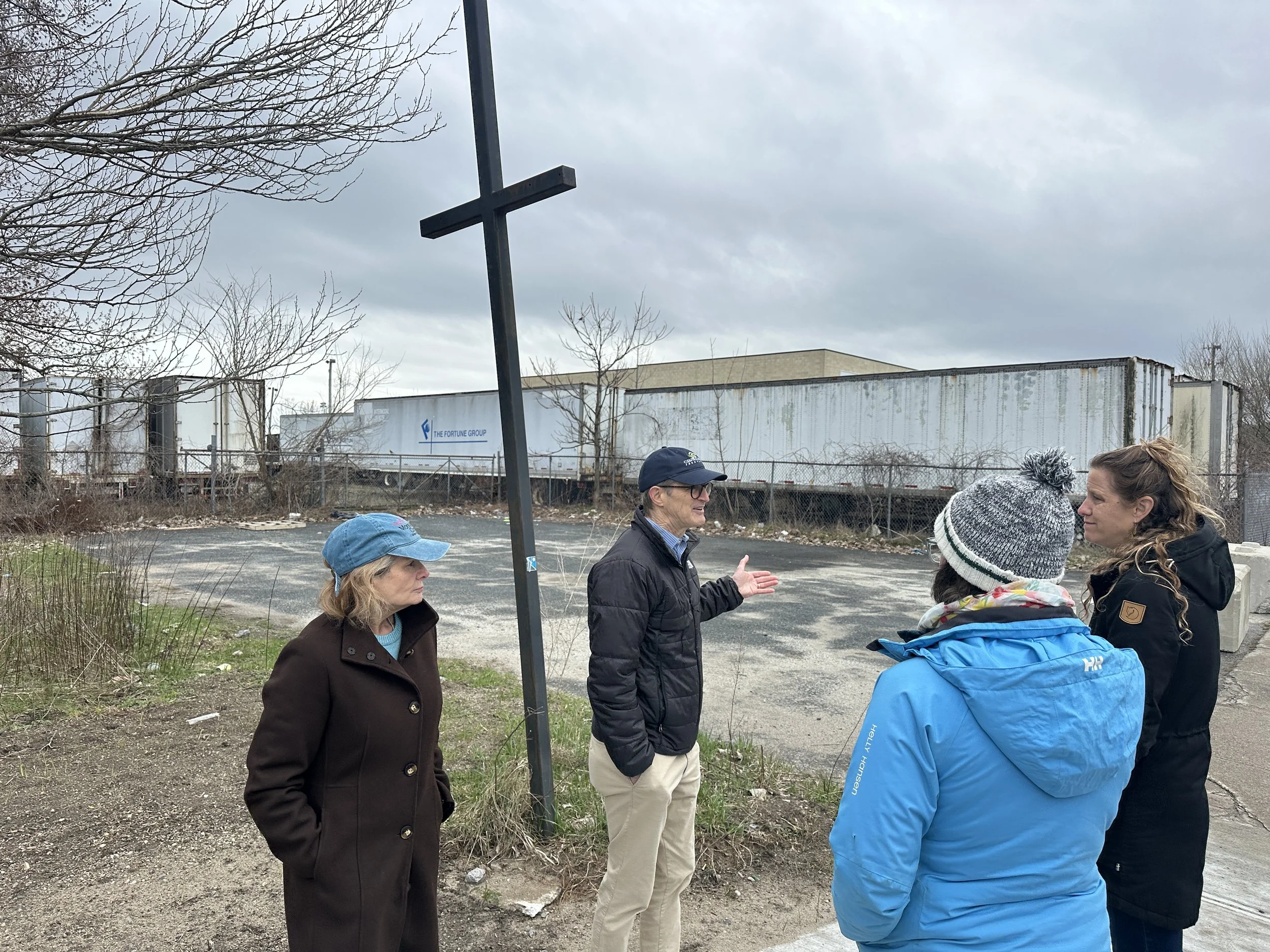
Central Falls, RI
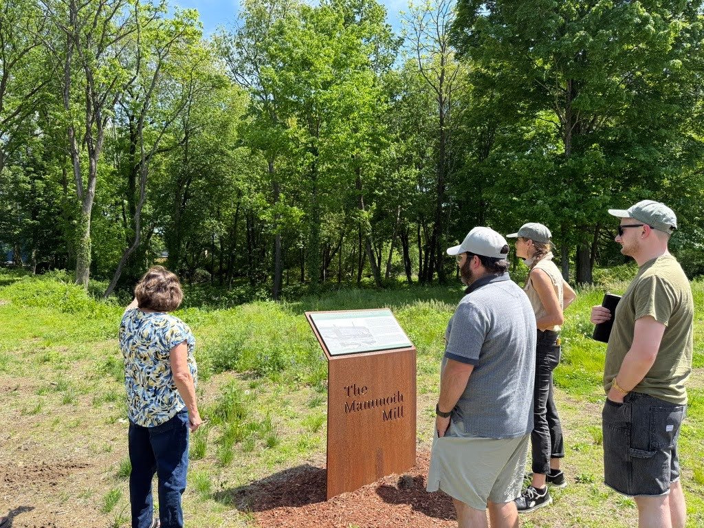
Blackstone, MA
Putting it All Together
Project partners have been working to visualize all of these moving pieces using a Miro Board.
Check out what we’ve been working on!

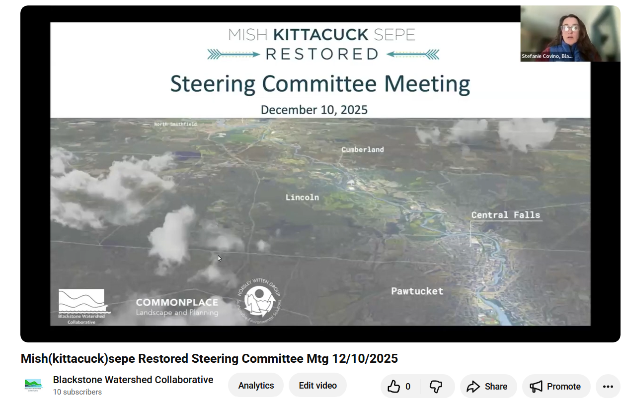
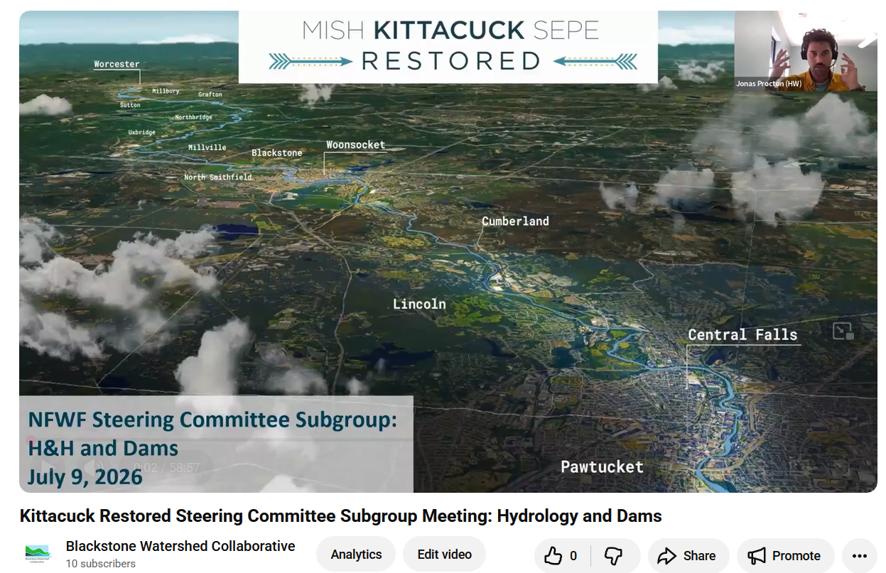
We’ve hosted two rounds of Steering Committee Meetings to get input on our process from key stakeholders and experts. See below for slides and recordings.
Steering Committee Meetings
Steering Committee #1
December 10, 2025
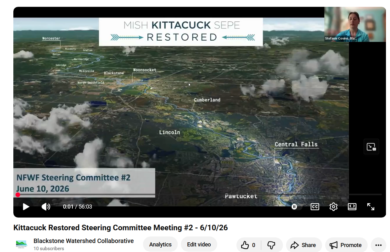
Steering Committee #2
June 10, 2026
Steering Committee Subgroup Meeting: Hydrology and Dams
July 9, 2026

Steering Committee Subgroup Meeting: Restoration and Access
July 9, 2026
Our next Steering Committee Meeting will be Wednesday, October 21st, 2026 at 10:00 am.
Community Input
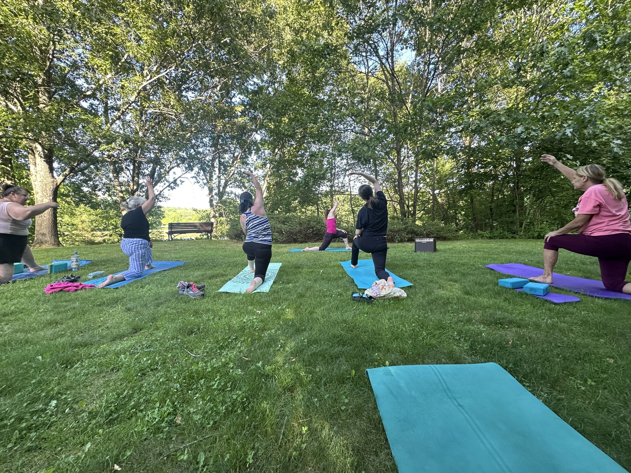
We’ve hosted many community events throughout 2026 to tell the public about the Kittacuck Restored Project and ask for feedback.
Yoga at Riverbend Farm
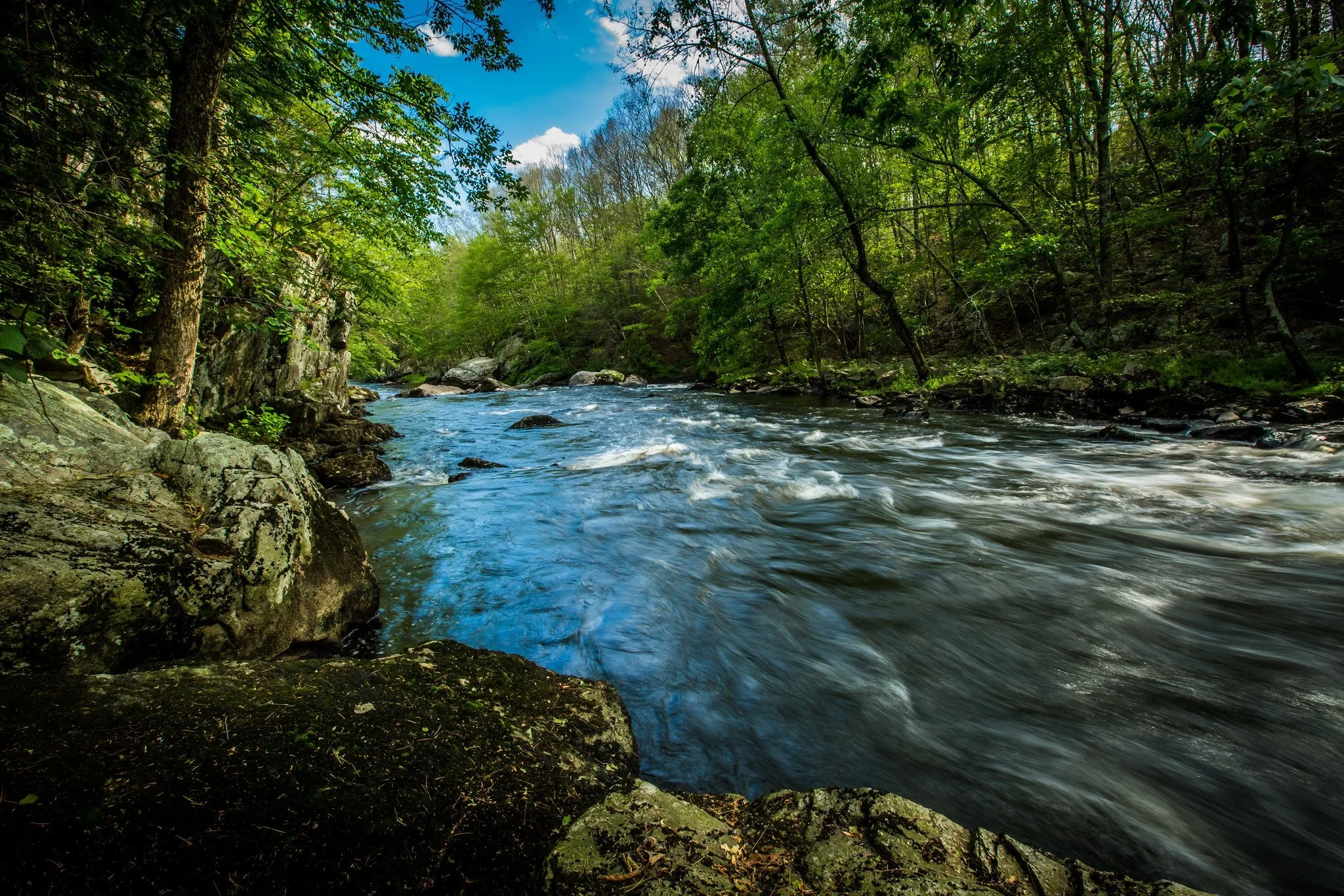
A Hike at Blackstone Gorge
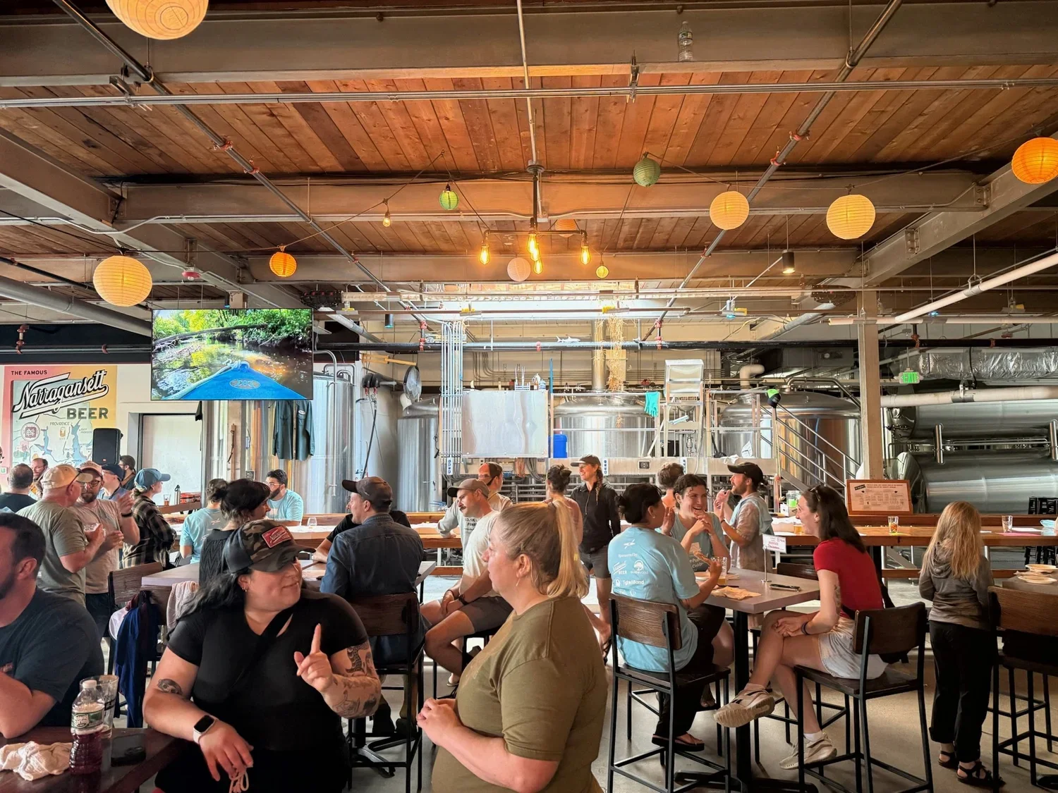
Blackstone Trivia Night at Narragansett Brewing
And many other events!
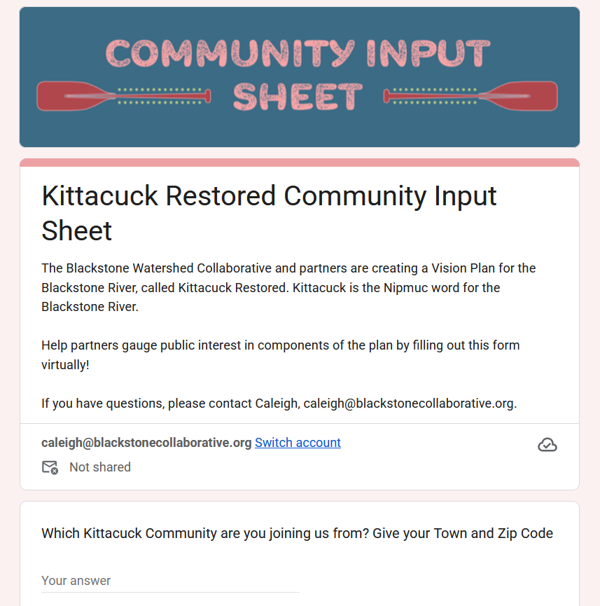
How did we gather feedback?
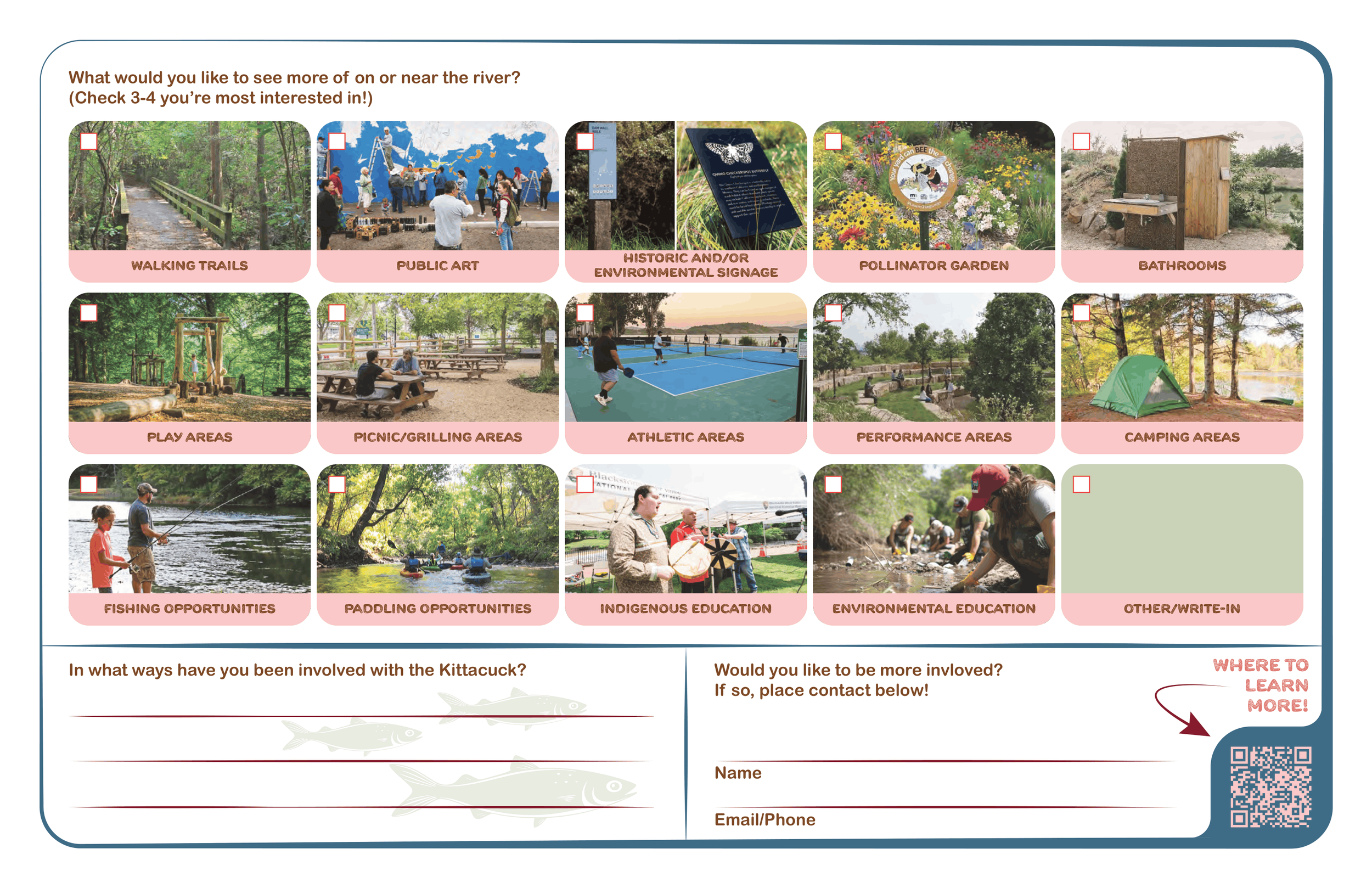
Our Community Input Sheets!
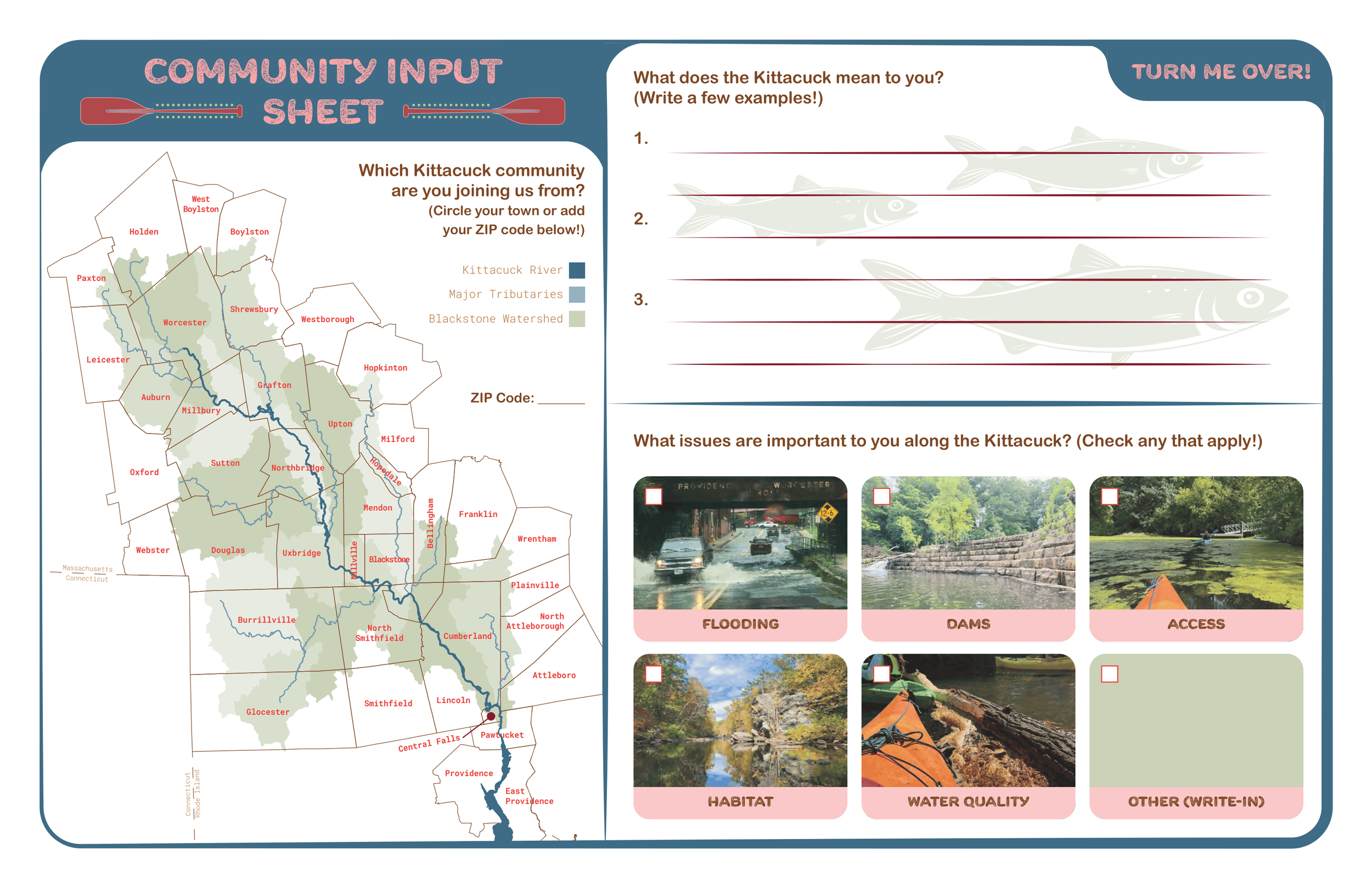
Want to provide input?
Fill out the Virtual Community Input Sheet to contribute to the final plan!
Stay Tuned for the Final Kittacuck Restored Plan!
Check back for project updates and to see our progress towards creating the Kittacuck Restored Vision Plan for the Blackstone River!

Thank you to RI DEM, who is our fiscal sponsor for this NFWF grant, without which this project could not be possible.
Blackstone Restoration Priority Action Plan
The Collaborative has been cataloging the restoration projects that our partners have identified. The Blackstone Restoration Priority Action Plan is intended to be a snapshot of the priorities as of the end of 2025. We will periodically update this resource as we get more information, discover new projects, and revise our goals. Please note that this plan is in draft form.