
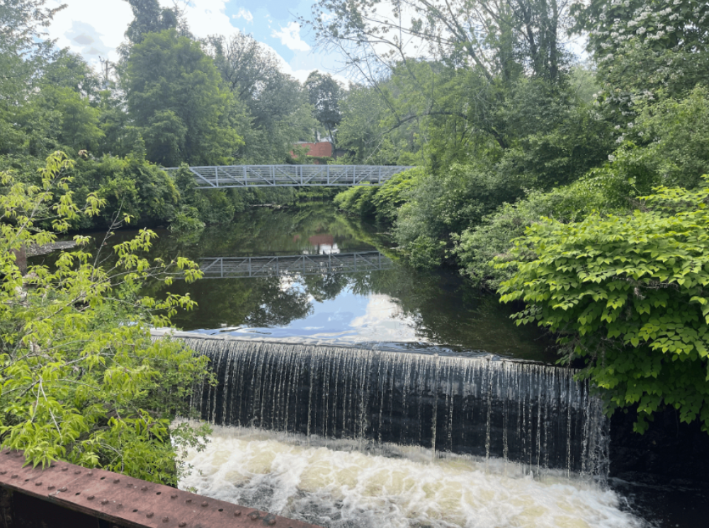
The Blackstone Watershed has over 300 dams, the most of any watershed in Massachusetts or Rhode Island.
Non-jurisdictional dams aren’t regulated they’re often not in the natl inventory of dams, don’t have fed ID#s each state assigns ID#s to dams but some non-jurisdictional dams/unregulated have no #s and are not required to have inspections for condition or assigned hazard levels. Some dams have an NID# but are no longer jurisdictional because they were breached.
Different IDs: NID is federal, state is dependent. MA uses federal, RI unique
(REPLACE WITH DAM MAP)
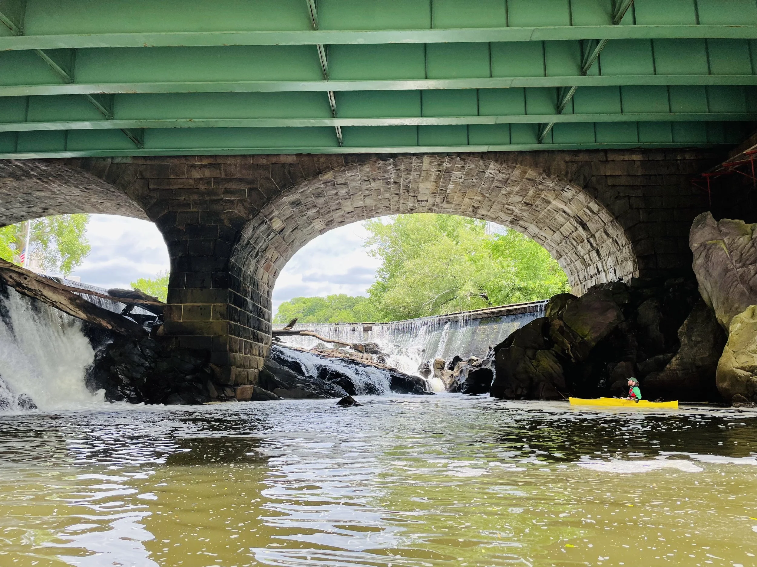
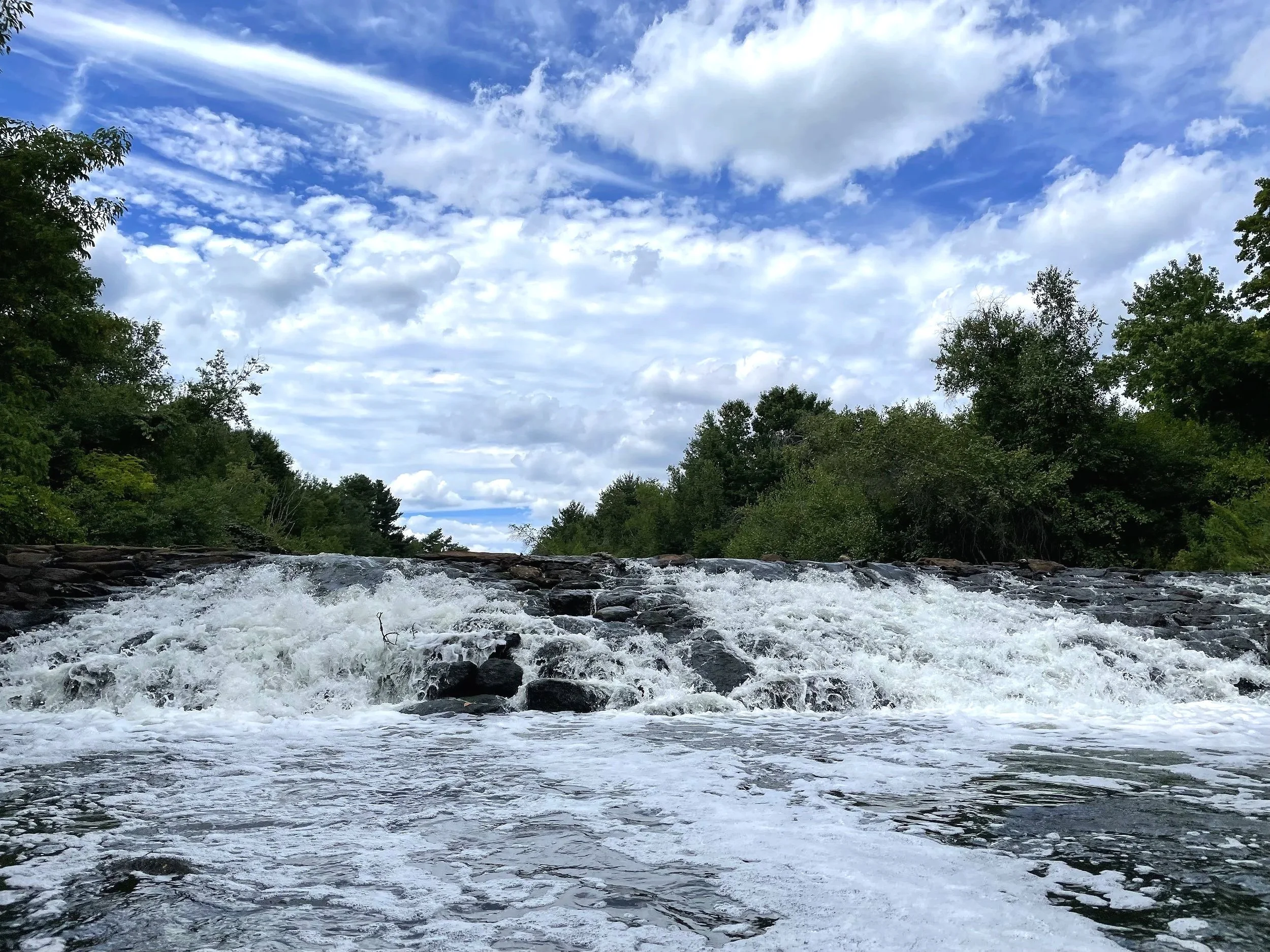
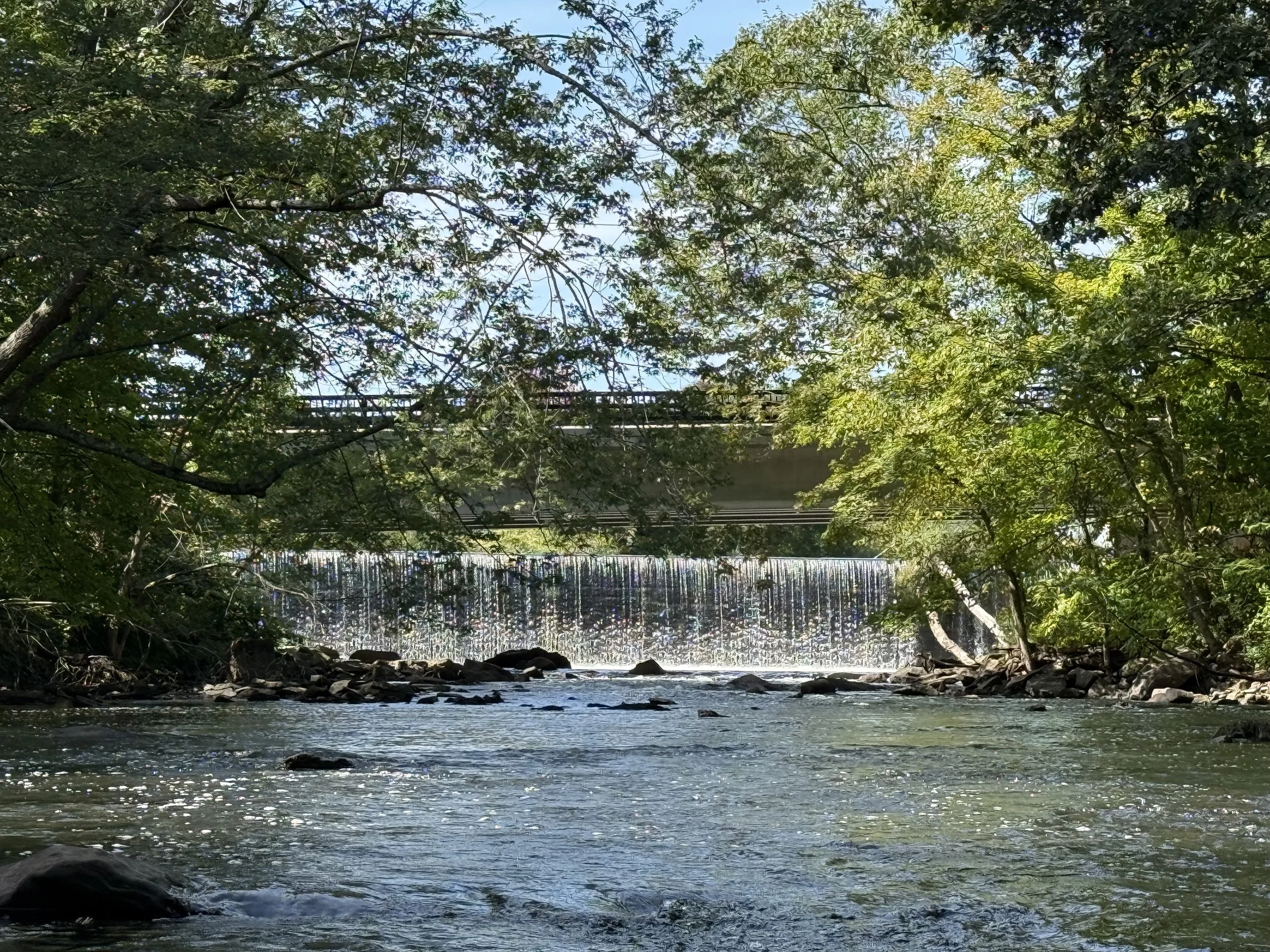
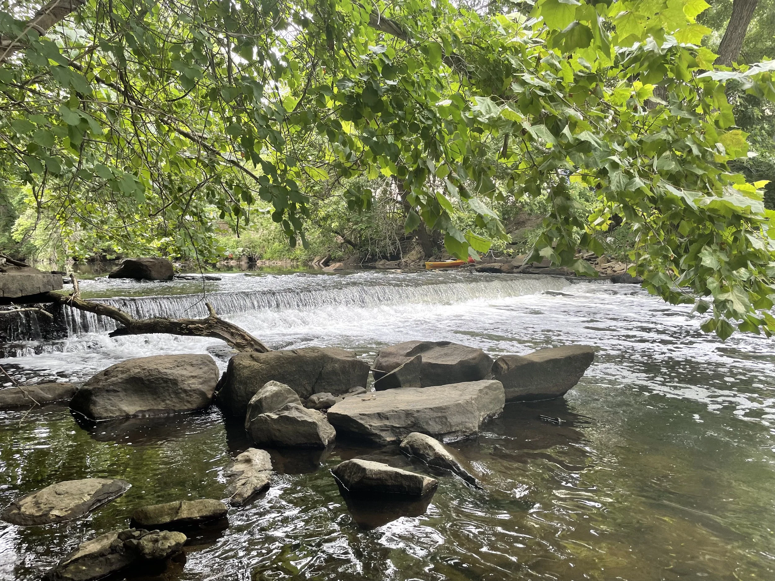
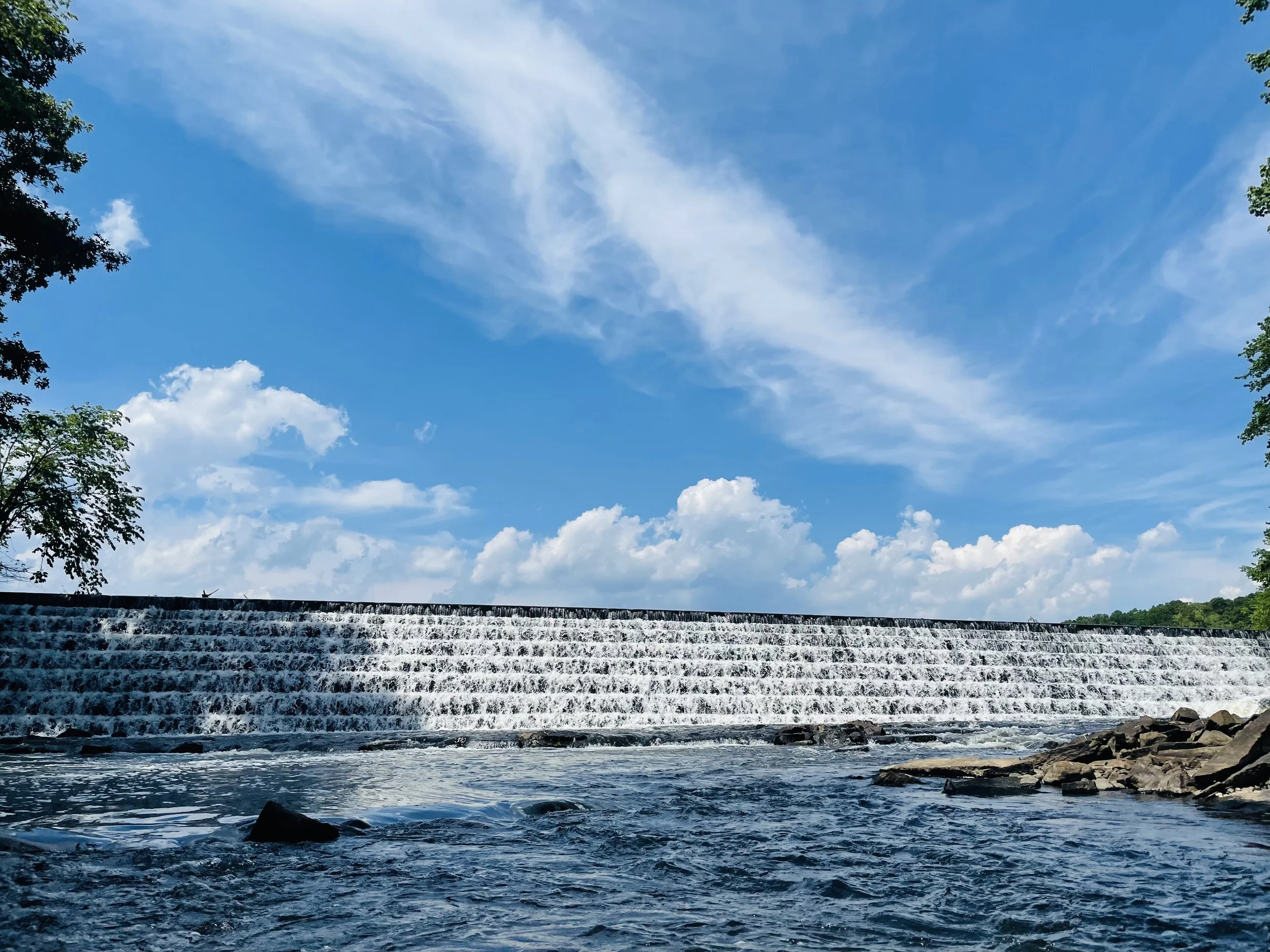
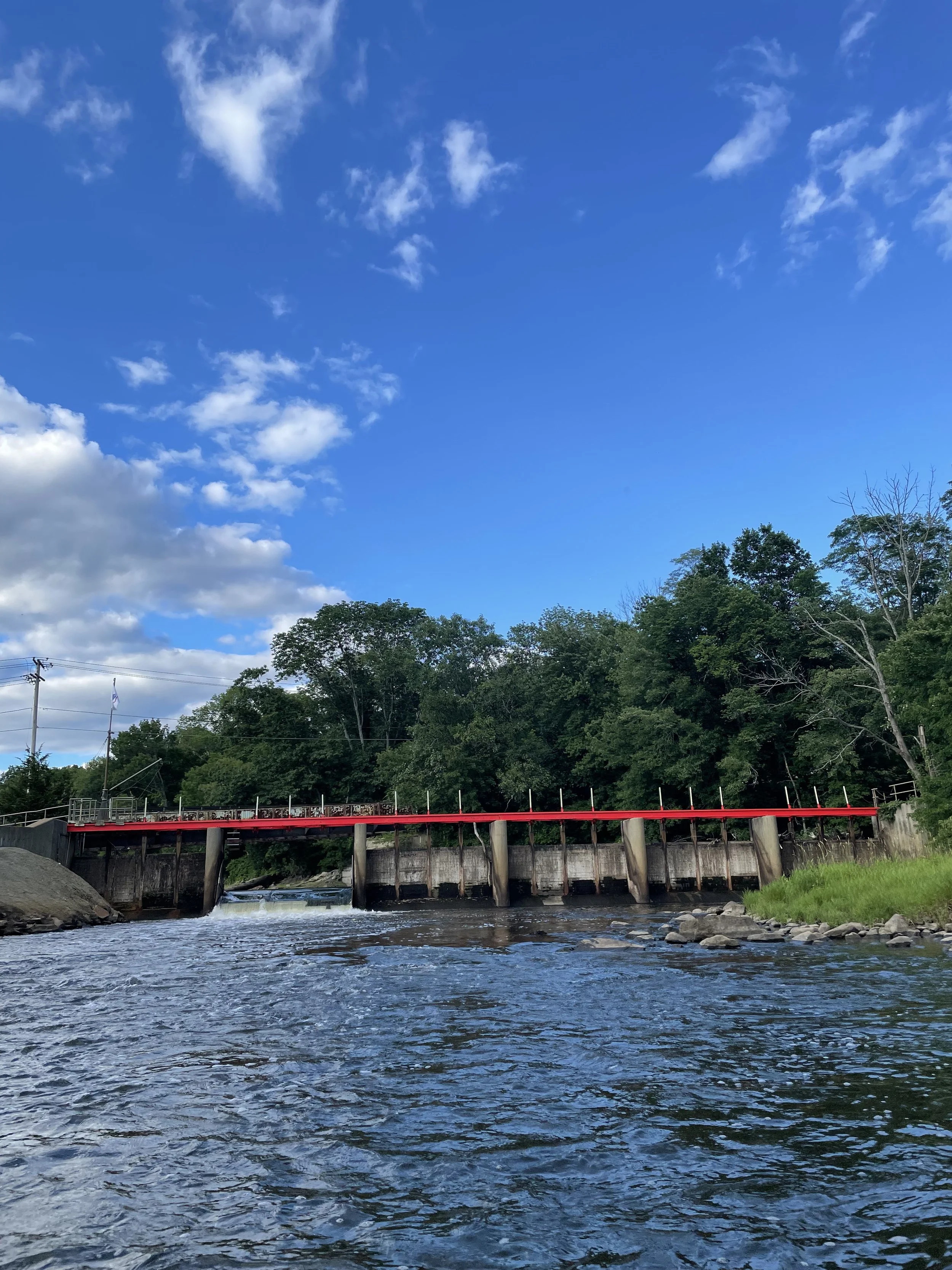
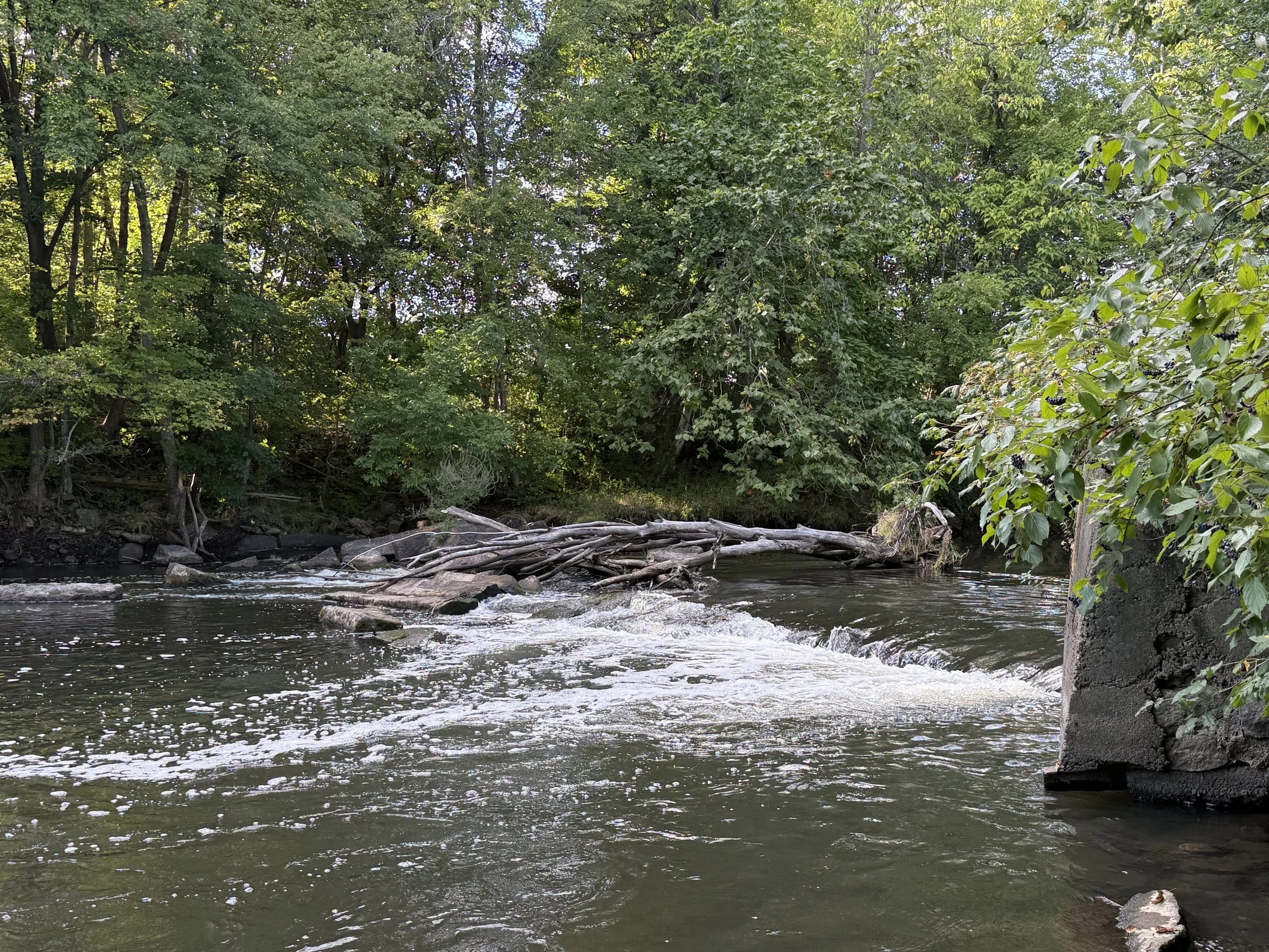
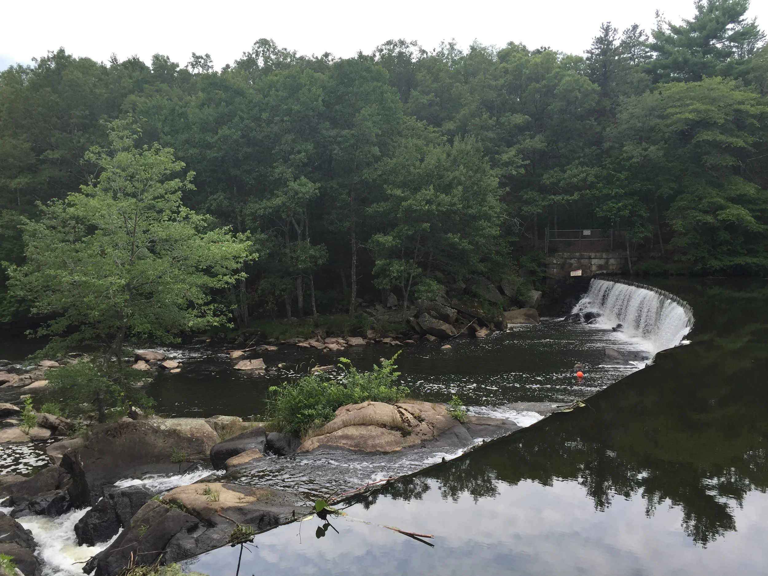
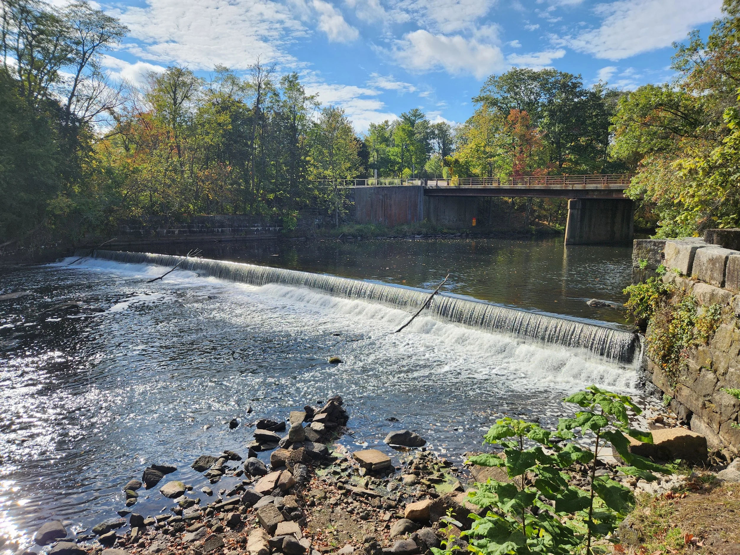
1. Quinsigamond Pond Dam
NID: MA00139
Location: Worcester, MA (42.236216, -71.79687)
Owner: City of Worcester Conservation Commission (Local Government)
Hazard Level: High
Condition: Poor
Other information: The dam does not appear to currently serve any active operation or economic function, though it does impound water for limited passive recreational use.

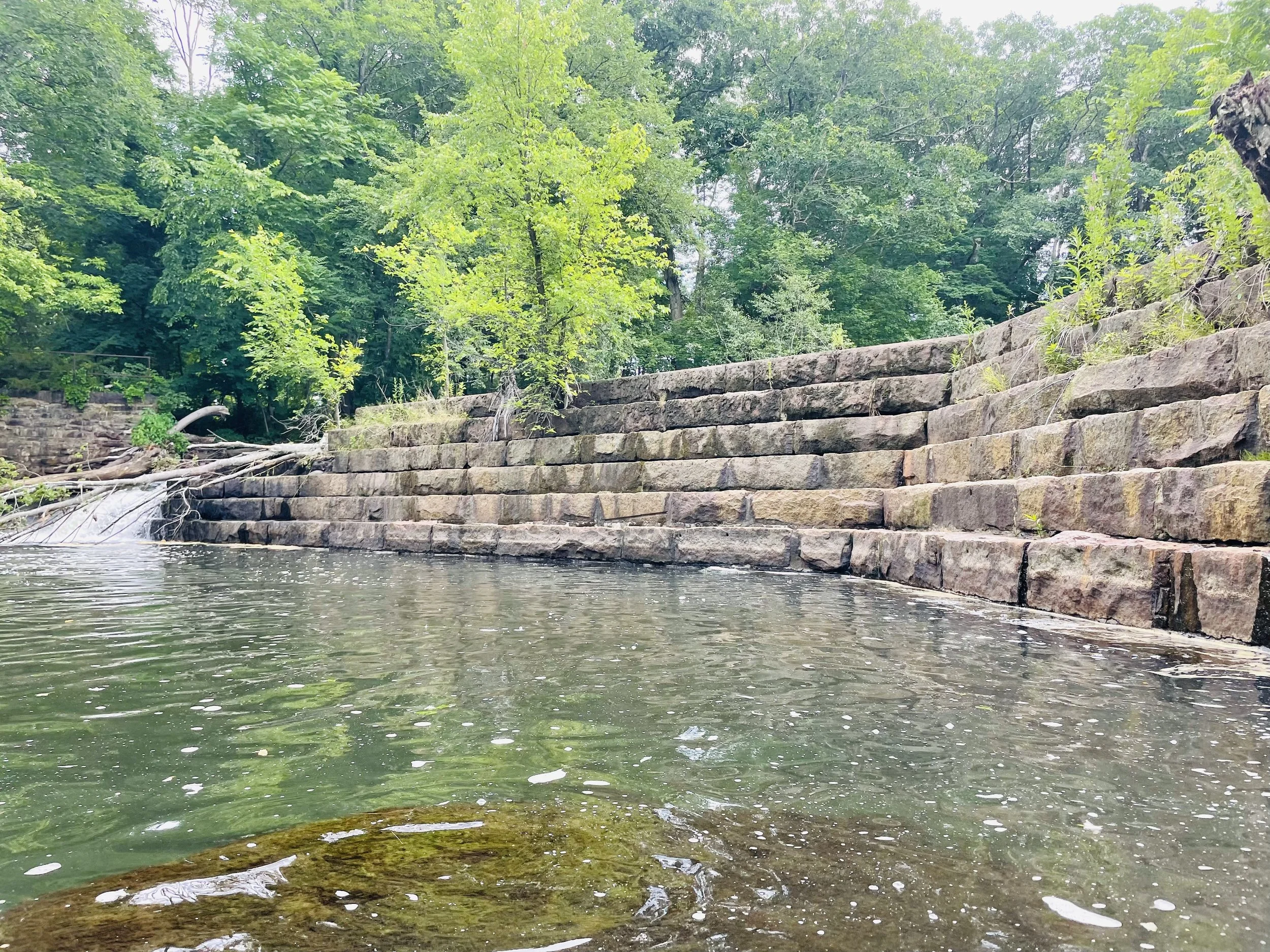
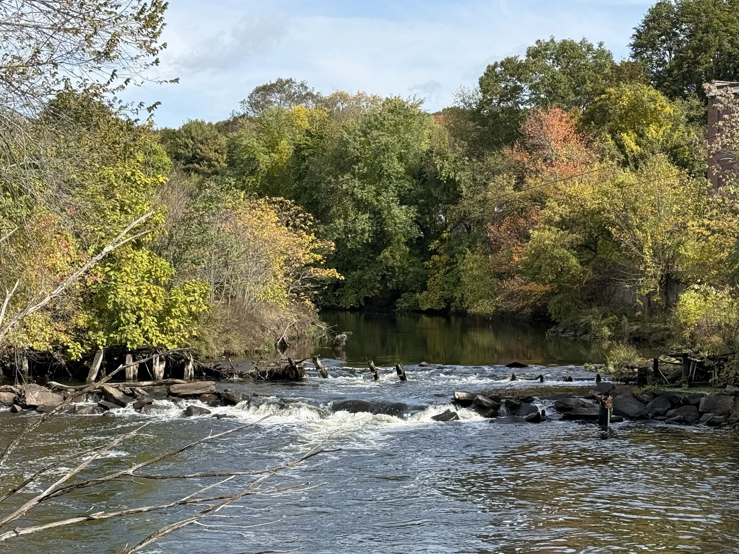
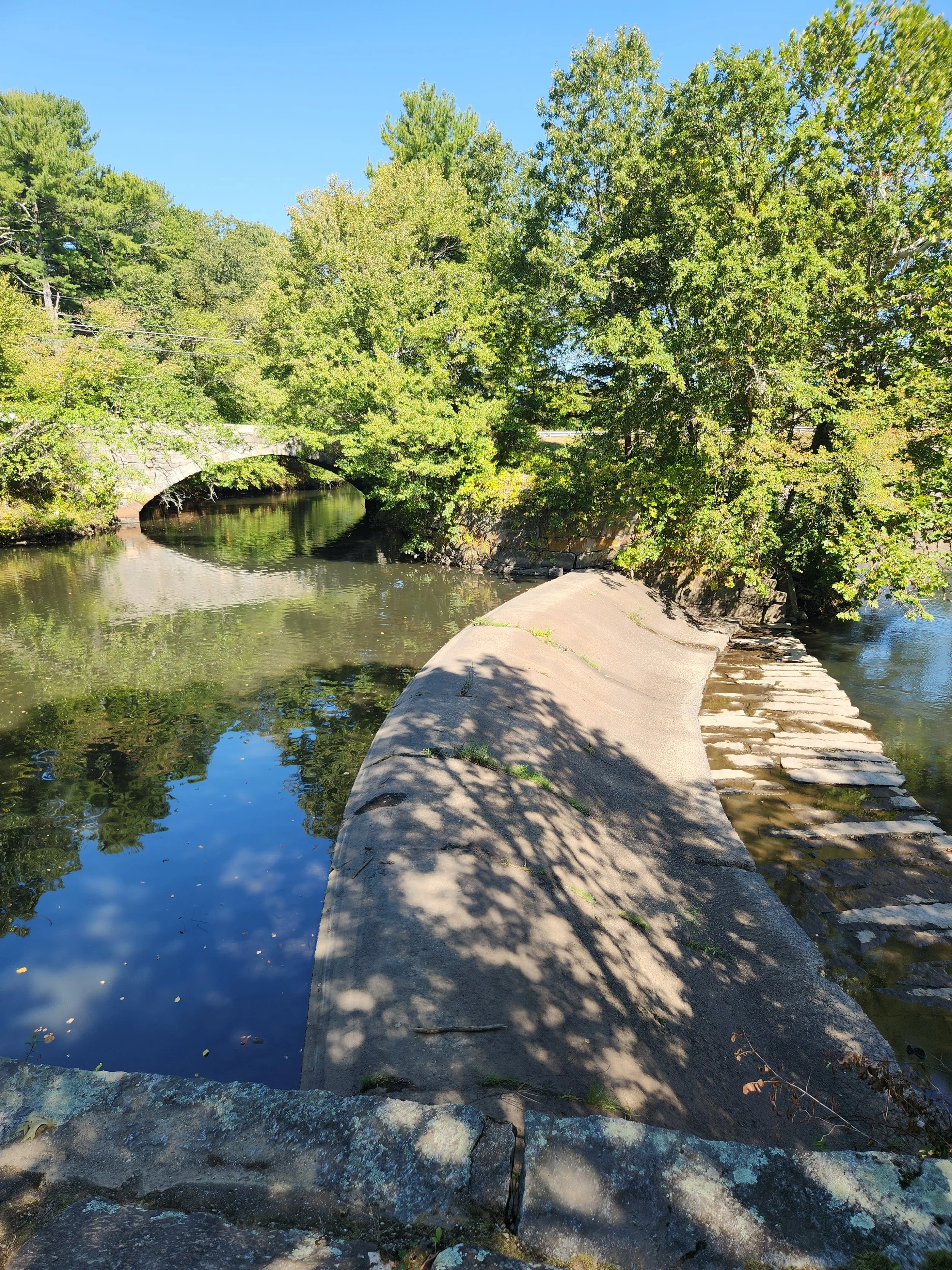
2. Quinsigamond Pond Dam 2 aka Worcester Visitor Center Dam
ID: None (Non-jurisdictional)
Location: Worcester, MA (42.236972, -71.796083)
Owner: Unknown, potentially Mass DCR
Hazard Level: Unrated
Condition: Unrated; seemingly poor condition
Other information: This dam can easily be seen from DCR’s Blackstone Visitor Center balcony and may be part of DCR’s property.
3. Millbury Electric Dam
NID: MA02828
Location: Millbury, MA (42.190806, -71.747528)
Owner: National Grid (Private)
Hazard Level: Low
Condition: Partially breached
Other information: While this previously produced hydropower, it has not been active for decades and National Grid has pursued dam removal in the past (2007).
4. Pleasant Falls/Singing Dam
NID: MA02890
Location: Sutton, MA (42.180861, -71.730306)
Owner: Blackstone River Corporation, Trustee (Private)
Hazard Level: Significant
Condition: Satisfactory
Other information: Its nickname comes from the tonal vibrations produced as water passes over the spillway. This dam has an intentional, simple portage immediately upstream and downstream of the dam - one of the best on the whole river.
5. Wilkinsonville Dam
ID: None (Non-jurisdictional)
Location: Sutton, MA (42.177481, -71.720992)
Owner: Indusol Inc. Polyvinyl Films aka Stretch Tite (Private)
Hazard Level: Unrated
Condition: Partially breached
Other information: There is no known record of assessment or hazard classification for this dam. While this dam seems small, paddlers should use caution around it due to loose concrete and metal debris above and below the structure.
6. Saundersville Dam
NID: MA00578
Location: Grafton, MA (42.177778, -71.711944)
Owner: Officially “abandoned” per MA Office of Dam Safety, as the last known owner, Cacao Inc, dissolved
Hazard Level: Significant
Condition: Poor, partially breached
Other information: While many dams have unknown owners, this is one of only a handful of officially abandoned dams in Massachusetts, and the only one on the mainstem.
7. Fisherville Pond Dam
NID: MA00577
Location: Grafton, MA (42.179175, -71.688694)
Owner: Fisherville Redevelopment Company, LLC (Private)
Hazard Level: High
Condition: Poor
Other information: The Town of Grafton recently received funds to repair this dam, including modifying the dam height, which may include construction of a portage around the dam. Currently, the portage on river right is highly eroded and steep.
8. Farnumsville Dam
NID: MA00942
FERC: P-9100
Location: Grafton, MA (42.138883, -71.639781)
Owner: Riverdale Mills Corporation (Private)
Hazard Level: Low
Condition: Satisfactory
Hydropower: Active, 150kW authorized annually
Other information: This is an active hydropower dam and is the only dam on the river that generates direct power for the wire factory alongside it, instead of selling power to the grid.
10. Rice City Pond Dam
NID: MA00935
Location: Uxbridge, MA (42.097562, -71.622746)
Owner: MA Dept. of Conservation & Recreation (State)
Hazard Level: High
Condition: Fair
Other information: The dam impounds Rice City Pond and is part of Mass DCR’s River Bend Farm. This state park has hiking trails along the towpath, and access steps into both the river and canal.
11. Route 16 Dam
ID: None (Non-jurisdictional)
Location: Uxbridge, MA (42.079314, -71.619762)
Owner: Unknown
Hazard Level: Unrated
Condition: Breached
Other information: This small dam is only sometimes visible depending on water conditions, yet can still present a hazard to recreational paddlers. This dam is just south of Route 16 and the Stanley Woolen Mill, but is not part of the associated mill complex.
12. Blackstone Gorge Dam
NID: MA00096
FERC: P-3023 (Eastern dam)
RI: 393
Location: Blackstone, MA (Western dam) / North Smithfield, RI (Eastern dam)
Owner: Blackstone Hydro Inc. (Private)
Hazard Level: Low
Condition: Satisfactory
Hydropower: Active, 1,724kW annual authorized capacity (Eastern dam)
Other information: This complex is actually two dams, one in MA and one in RI. The natural river turns south, but the canal/raceway turns north. The dam on the natural river is in Blackstone, MA (referred to as Stone Diversion Dam in MassMapper and also referred to as Rolling Dam). That dam creates a headpond that allows water to enter that raceway, which turns north, toward a hydroelectric facility called Tupperware. Water leaves Tupperware Dam/hydro facility and then releases water back into the natural river. These two dams are part of the same Tupperware project that produces hydropower.
The (western/natural river) Blackstone Gorge Dam on the mainstem is within a Mass DCR state park on the border of RI, with hiking trails along the Blackstone Gorge. Paddlers should be aware that the area south of here contains several rapids.
13. Saranac Dam
NID: MA01164
Location: Blackstone, MA (42.016999, -71.538106)
Owner: Town of Blackstone (Local Government)
Hazard Level: Low
Condition: Fair
Other information: Its official name is Blackstone River Saranac Dam at Canal Street.
16. Manville Dam
IDs: NID: RI00809
State: 059
FERC: 15370-000
Location: Cumberland/Lincoln, RI
Owner: Town of Cumberland (Local Government)
Hazard Level: Low
Condition: Poor
Other information: Hydroelectric estimated 3,952,000 kwh annually
17. Albion Dam
ID: RI00808/State ID: 060/FERC No.: P-14633
Location: Cumberland/Lincoln, RI
Owner: Albion Hydro, LLC (Private)
Hazard Level: Low
Condition: Poor
Other information: Hydroelectric, authorized capacity up to 520kW annually (technically exemption not licensed)
NID: MA00576
Location: Grafton, MA (42.174333, -71.680294)
Owner: Deborah Lippman Trustee (Private)
Hazard Level: Low
Condition: Poor, breached
Other information: The impoundment has mostly drained, leaving accumulated sediment exposed. This dam is composed of a wooden crib dam as well as a stone structure. Despite partial failure, water levels drop approximately 4 feet.
9. Riverdale Dam
18. Ashton Dam
ID:RI01705/State ID: 061/FERC No.: P-14634
Location: Cumberland/Lincoln, RI
Owner: Ashton Hydro, LLC (Private)
Hazard Level: Low
Condition: Poor
Other information: The dam is owned by New England Hydropower Company, who is proposing a run-of-river spillway hydropower facility. As of 2026, the project is not yet operational.
19. Pratt Dam
ID: RI01705/State ID: 062
Location: Cumberland/Lincoln, RI
Owner: Town of Cumberland (Local Government)
Hazard Level /Condition: Low/Poor (5/4/18)
Other information: This dam impounds water to form Lonsdale Marsh, the largest freshwater marsh in Rhode Island. Spillway arches are open to river flow so there is unimpeded connectivity for fish passage, but the narrow arches restrict flow during floods and create extremely hazardous conditions for paddlers - DO NOT try to paddle through this dam, despite the openings — debris accumulation is an ongoing safety concern that have led to fatal accidents.
20. Valley Falls Dam
ID: State: RI00401 NID: FERC: P-3063
Location: Cumberland/Central Falls, RI
Owner:Blackstone Hydro Associates (Private)
Hazard Level: Low
Condition: Satisfactory
Hydropower: Active
FERC: P-3063
Authorized capacity: 1,200kW annually
Other information: Impoundment includes the Valley Falls Pond and Valley Falls Marsh, which is the largest freshwater marsh in Rhode Island. This dam is the top of the “lowest four” that advocates are working to create fish passage around in order to reconnect migratory species such as herring from the ocean to this historic spawning habitat.
21. Elizabeth Webbing Mill Dam
ID: RI04270/State ID: 065
Location: Pawtucket, RI
Owner: State of RI Dept. Environmental Management
Hazard Level: Low
Condition: Poor
Other information: This dam is currently being explored by RIDEM and the Fish Passage Community Advisory Council to determine the best way to allow fish to go around or over the dam. Currently, the preferred alternative being explored is full removal and creation of a nature-like fishway within the river channel, which would allow both fish and paddlers to safely pass through.
22. Slater Mill Dam
ID: RI04270/State ID: 065
Location: Pawtucket, RI
Owner: Old Slater Mill Association (Private)
Hazard Level: Low
Condition: Poor
Other information: This dam powered the first successful cotton-spinning mill in the United States, kicking off the American Industrial Revolution. It is a central part of the Blackstone River Valley National Historical Park..
23. Main St. Dam
IDs: NID: RI04271
State:
FERC: P-3689
Location: Pawtucket, RI
(41.876556, -71.383136)
Owner: Relevate Power LLC
Hazard Level: Significant
Condition: Satisfactory Condition, Breached
Hydropower: Active
FERC: P-3689
Authorized capacity: 1,675kW annually
Other information: Active hydropower
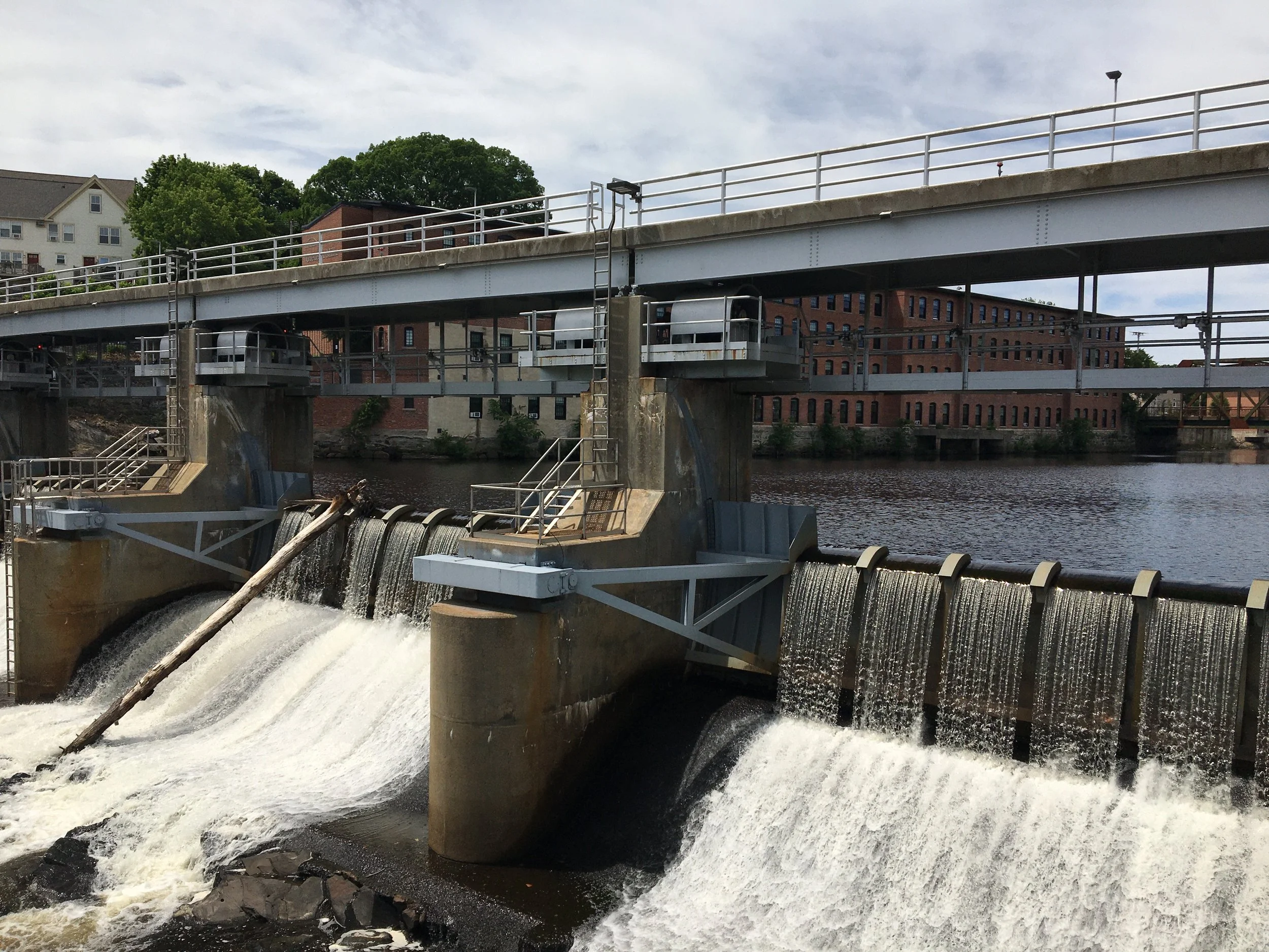
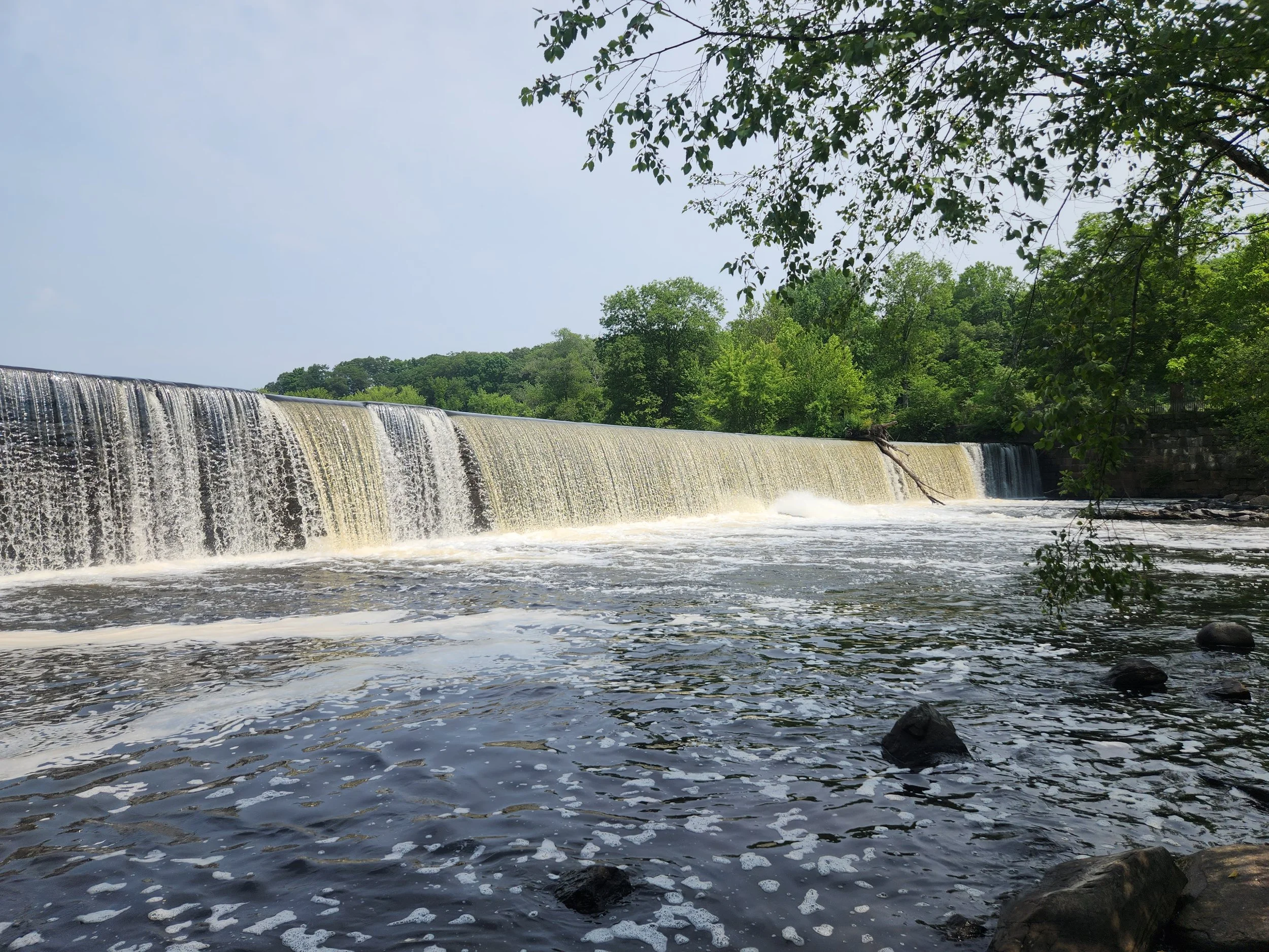
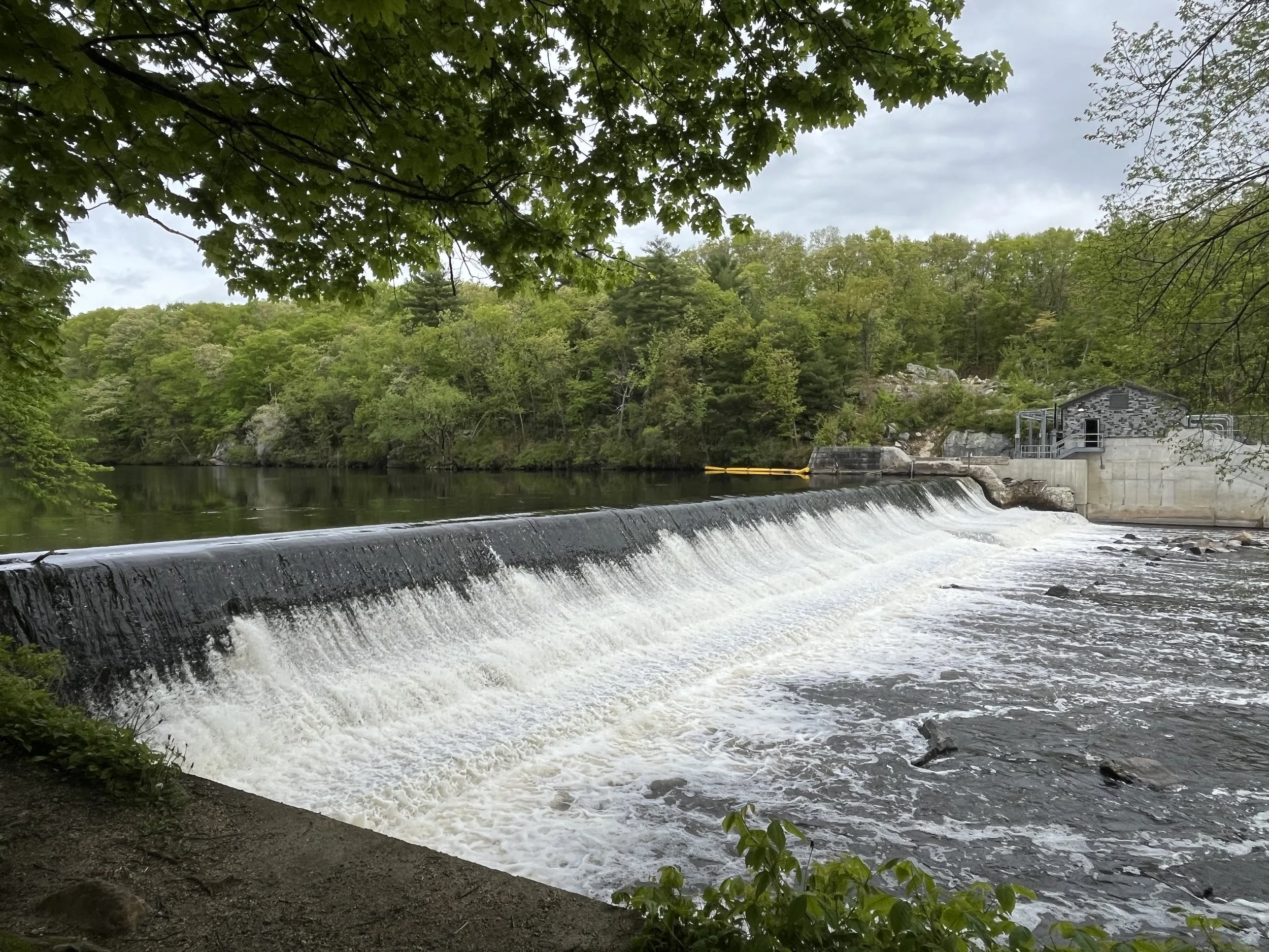
15. Thundermist Dam
NID: RI03902
RI: 056
FERC: P-2972
Location: Woonsocket, RI (41°59’57.96, 71°31’4.76)
Owner: USACE - New England District (Federal)
Hazard Level: Low
Condition: Significant
Hydropower: Active, 1,200kW annual authorized capacity
Other information: This hydroelectric dam is allowed to produce up to 1,200kW per year and is a central component to the Woonsocket Flood Risk Management Program created by the US Army Corp of Engineers in _____Year